KQGIS Mobile
A professional GIS-embedded mobile software development platform by KQ GEO Technologies Co. Ltd., designed to leverage the capabilities of mobile devices.
This versatile platform is ideal for geospatial applications, enabling seamless system expansion across various industries.
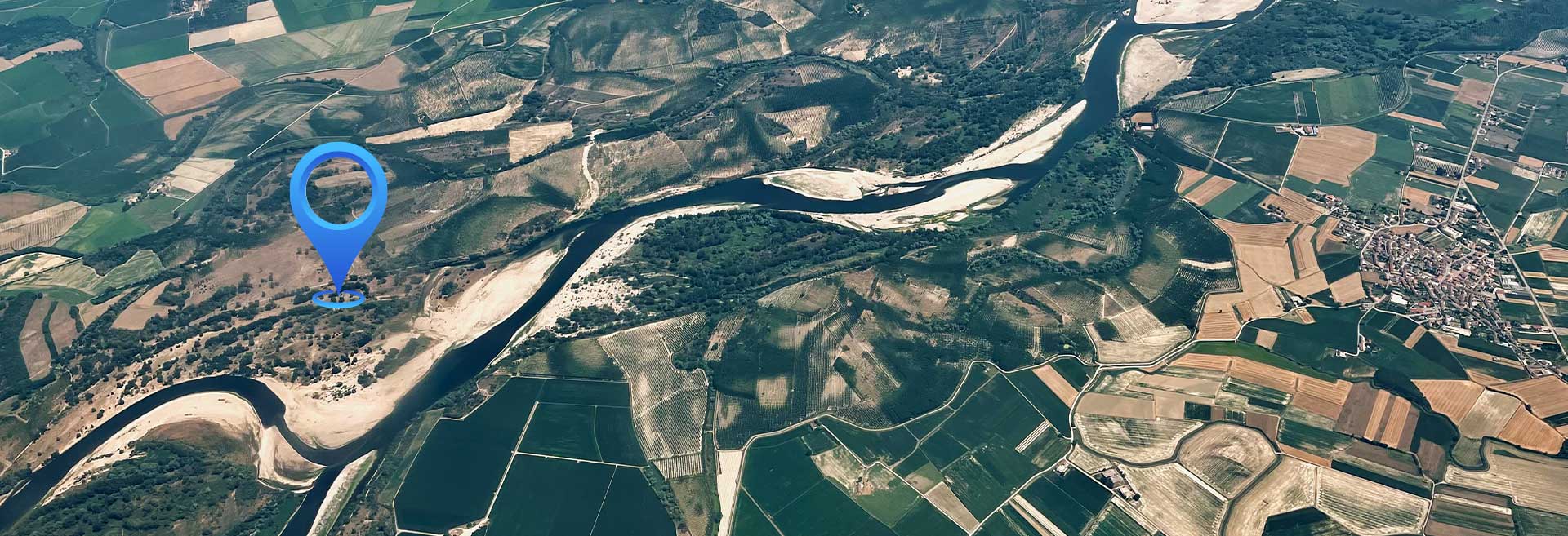
With advanced GIS and navigation integration, KQGIS Mobile supports network positioning, GPS satellite positioning, and RTK precise positioning, enhancing portability and real-time field operations. It empowers users to perform professional geospatial tasks efficiently, anytime and anywhere, reducing workload through mobile and network collaboration.
Key Features of KQGIS Mobile

Comprehensive GIS Functions
- Offers a full range of GIS capabilities tailored for mobile use.
- Supports data collection, editing, analysis, and visualization on the go.
Support for Various Basic Geographic Data
- Compatible with multiple geospatial data formats.
- Ensures flexibility in handling different mapping and survey datasets.

Integration of GIS & Navigation
- Combines GIS with navigation tools for seamless fieldwork.
- Supports network positioning, GPS satellite positioning, and RTK precise positioning for high-accuracy mapping.

Simultaneous Online & Offline Data Access
- Enables users to work with spatial data even without an internet connection.
- Supports real-time updates when reconnected, ensuring efficient field operations.
Related Products
A comprehensive GIS data management software that integrates mapping, image processing, analytics, and data management into an intuitive user interface.
A high-performance & enterprise-class system, which enables GIS applications and service publishing and sharing.
A field-ready GIS solution that allows users to collect, analyze, and share spatial data in real time.
It provides advanced 3D visualization and spatial analysis tools, enabling users to interact with geospatial data in a dynamic 3D environment.
A development toolkit that empowers developers to create custom GIS applications tailored to specific industry needs.
A remote sensing platform designed for high-precision satellite imagery and data processing applications.
It leverages artificial intelligence to enhance GIS applications, providing predictive analysis and automation capabilities.
Unlock Your Business Potential
For any inquiries or assistance, please don’t hesitate to contact us via email or phone.