KQGIS 3D
KQGIS 3D is a leading 3D GIS platform which is developed independently by KQ GEO Technologies.

With unique geographic feature data engine and 3D rendering engine, this platform enables smooth display and application of massive 3D data in workstations with mainstream configuration, and runs cross platforms among PC, webpage, and mobile devices.
Key Features of KQGIS 3D

Brilliant Effects
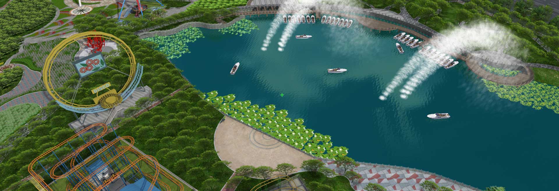
Able to show realistic effects, models, scenes, etc., realize 2D & 3D integrate display of multiple scenes, and provide immersive experience by connecting with VR devices.

High Performance
An independently developed 3D rendering engine enables smooth roaming, analysis and editing of massive 3D data with mainstream configuration.

Massive Data
Innovative 3D geographic feature database technology realizes unified management of various data, such as 3D model, vector, image, elevation, oblique photography, and point cloud.

Sophisticated Functions
Support precise 3D spatial analysis and calculations, and multiple professional functions such as visualization, analysis and editing.

Comprehensive APIs
Provide abundant and cross-platform SDK secondary development components and 3D service functions, and run cross platforms among PC, webpage, and mobile devices.

Wide Application
Support industry-oriented applications, including urban management, pipeline management, engineering geology and environmental hydrology.
Related Products
A comprehensive GIS data management software that integrates mapping, image processing, analytics, and data management into an intuitive user interface.
A high-performance & enterprise-class system, which enables GIS applications and service publishing and sharing.
A field-ready GIS solution that allows users to collect, analyze, and share spatial data in real time.
It provides advanced 3D visualization and spatial analysis tools, enabling users to interact with geospatial data in a dynamic 3D environment.
A development toolkit that empowers developers to create custom GIS applications tailored to specific industry needs.
A remote sensing platform designed for high-precision satellite imagery and data processing applications.
It leverages artificial intelligence to enhance GIS applications, providing predictive analysis and automation capabilities.
Unlock Your Business Potential
For any inquiries or assistance, please don’t hesitate to contact us via email or phone.

