KQRS
AI Interpretation Software is an advanced remote sensing analysis platform developed through a deep understanding of artificial intelligence technologies and the specific needs of the remote sensing industry.
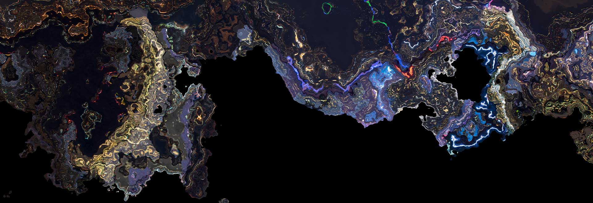
Built on KQ GEO Technologies' strong foundation in AI algorithm research and extensive practical experience, the software effectively overcomes the limitations of traditional pixel-based and object-based interpretation methods, offering a more sophisticated approach to remote sensing data analysis.
By integrating deep learning into the process, KQRS for AI provides a suite of high-efficiency AI algorithms and training frameworks designed for land feature detection, change detection, object recognition, and land use classification. These capabilities significantly enhance the processing power of remote sensing imagery, reducing both labor and time costs while enabling more accurate and effective management of natural resources.
The software supports cross-platform deployment, ensuring reliable operation in both Linux and domestically developed environments. Its flexibility allows for stable use across various platforms, making it adaptable to a wide range of applications. The software has already been widely applied with outstanding results in industries such as smart transportation, agriculture and rural development, environmental protection, emergency management, and business decision-making, where it continues to demonstrate its effectiveness in improving operational efficiency and decision-making accuracy.
Key Features of KQRS

Custom Sample Library Construction
- Allows users to independently create and update their own sample library.
- Provides an easy-to-use interface for quick sample labeling and updates. Supports sample generation from historical vector imagery.
- Compatible with JSON and Mask image formats for labeling.

Custom Model Training
- Offers training interfaces for object detection, change detection, and feature extraction.
- Users can train new models using their own datasets or datasets created with the platform’s labeling tools.
- Enables the replacement of pre-installed models with customized ones for targeted detection tasks.

Intelligent Semantic Segmentation
- Leverages Fully Convolutional Network (FCN) technology for pixel-level image classification.
- Effectively handles complex semantic segmentation tasks.
- Detects and classifies land features like buildings, roads, water bodies, vegetation, and snowlines in remote sensing images.

Video-Based Object Recognition
- Real-time object recognition from videos (e.g., road centerlines, traffic signs).
- High-speed detection with accuracy up to 0.1 meters and over 90% recognition rate. Optimized for lighting changes, shadows, and road curvature.
- Capable of processing up to 200 km/day.

Efficient Preprocessing and Postprocessing
- Uses traditional image processing techniques to enhance original data and ensure data diversity.
- Improves the robustness of trained models and adaptability to environmental changes.
- Offers powerful postprocessing tools for boundary simplification, cleanup, building regularization, and more to improve interpretation results.

AI Object Recognition
- Deep learning models automatically recognize targets like ships, aircraft, and other objects with unique features.
- High-speed recognition with a focus on densely packed and small targets.
- Efficiently detects and identifies objects even in large datasets.

Land Feature Recognition, Classification, and Extraction
- Automatically extracts land feature contours (e.g., water bodies, roads, buildings) from remote sensing images.
- Classifies similar land features using advanced deep learning algorithms.
- Reduces the need for manual remote sensing interpretation and vectorization.

Change Detection
- Compares remote sensing images from different years to detect changes.
- Identifies changes in both general and specific land features.
- Widely used in change surveys, illegal land use detection, and environmental monitoring.

SAR Change Detection
- Supports change detection using SAR (Synthetic Aperture Radar) imagery.
- Uses SAR’s unique phase information and multi-temporal remote sensing techniques.
- Ideal for situations where optical imagery is ineffective due to environmental factors like weather or lighting conditions.
Related Products
A comprehensive GIS data management software that integrates mapping, image processing, analytics, and data management into an intuitive user interface.
A high-performance & enterprise-class system, which enables GIS applications and service publishing and sharing.
A field-ready GIS solution that allows users to collect, analyze, and share spatial data in real time.
It provides advanced 3D visualization and spatial analysis tools, enabling users to interact with geospatial data in a dynamic 3D environment.
A development toolkit that empowers developers to create custom GIS applications tailored to specific industry needs.
A remote sensing platform designed for high-precision satellite imagery and data processing applications.
It leverages artificial intelligence to enhance GIS applications, providing predictive analysis and automation capabilities.
Unlock Your Business Potential
For any inquiries or assistance, please don’t hesitate to contact us via email or phone.