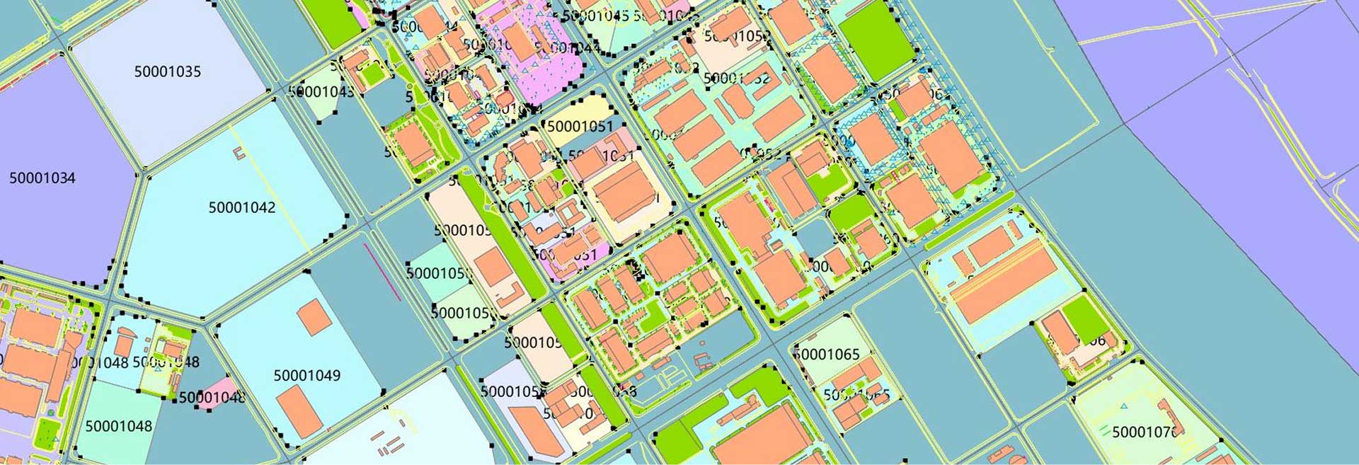
KQGIS Server
A powerful platform for publishing, managing, and developing geospatial data and services.

It enables the rapid deployment of standard and extended GIS services, allowing users to integrate and utilize a wide range of GIS functions efficiently.
With robust WebGIS customization capabilities, KQGIS Server streamlines the development and publishing of user-defined services, making it an ideal solution for scalable and flexible geospatial applications.
Key Features of KQGIS Server

Integration of Static & Dynamic Tiles at Different Scales
- Supports both static and dynamic map tiles for various zoom levels.
- Ensures smooth visualization and efficient data loading across different scales.

New Rapid Map Tiling Technology
- Utilizes advanced tiling methods for faster map rendering.
- Improves performance and responsiveness in WebGIS applications.

Multi-Source & Multi-Format Data Support
- Accepts diverse geospatial data formats from various sources.
- Ensures flexibility in data integration and compatibility.

3D Scene Publishing & 3D Web Services
- Enables the publication of 3D geospatial data for web-based applications.
- Supports interactive 3D visualization and analysis in a browser.
Related Products
A comprehensive GIS data management software that integrates mapping, image processing, analytics, and data management into an intuitive user interface.
A high-performance & enterprise-class system, which enables GIS applications and service publishing and sharing.
A field-ready GIS solution that allows users to collect, analyze, and share spatial data in real time.
It provides advanced 3D visualization and spatial analysis tools, enabling users to interact with geospatial data in a dynamic 3D environment.
A development toolkit that empowers developers to create custom GIS applications tailored to specific industry needs.
A remote sensing platform designed for high-precision satellite imagery and data processing applications.
It leverages artificial intelligence to enhance GIS applications, providing predictive analysis and automation capabilities.
Unlock Your Business Potential
For any inquiries or assistance, please don’t hesitate to contact us via email or phone.

